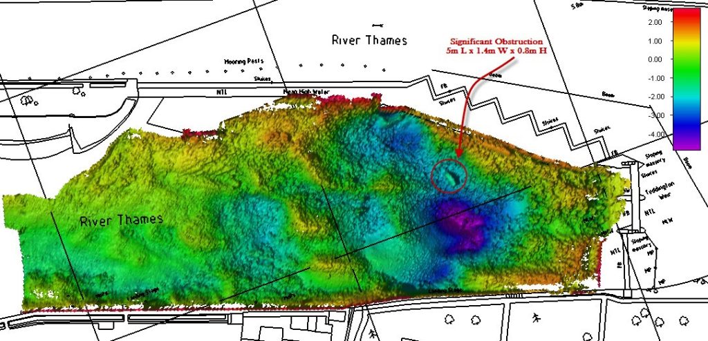
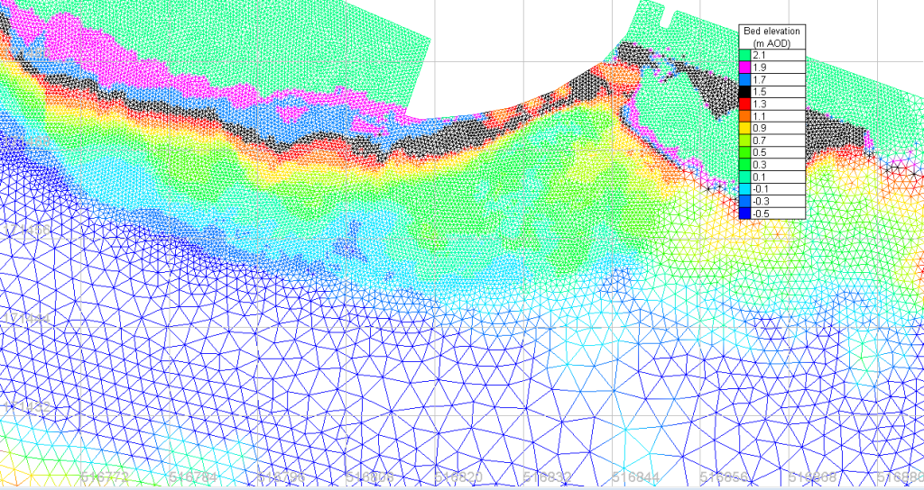
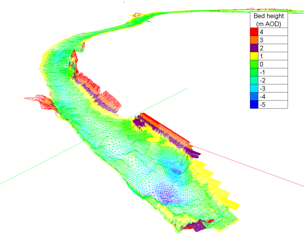
This was a model that I made of the water movements within Teddington weir pool. The main question was whether opening one small gate in the weir gate array would cause erosion of a gravel bank at the neck of the pool. It seemed reasonably unlikely that such a small change could cause erosion. But the water model showed the very thing – the small concentrated flow drilled into the bank throughout a considerable period of each tide.
The model was quite complicated because the pool is the tidal limit of the Thames, so the water flows both ways, and fills the pool sometimes with tides and at other times water just flows down through the gates. The gates are thus opened and closed to maintain the flow of the river and make sure the river above the weir pool retains sufficient water to fill the locks and allow navigation, without the large daily fluctuations of tide.
We made surveys of the pool using an ADCP on one radio controlled boat, and a depth transponder on another. We also used bathymetric data, flow data and our own survey data to build the whole model. The flow model was resolved using TELEMAC. The mesh was made with Blue Kenue.


